Scottish Maps
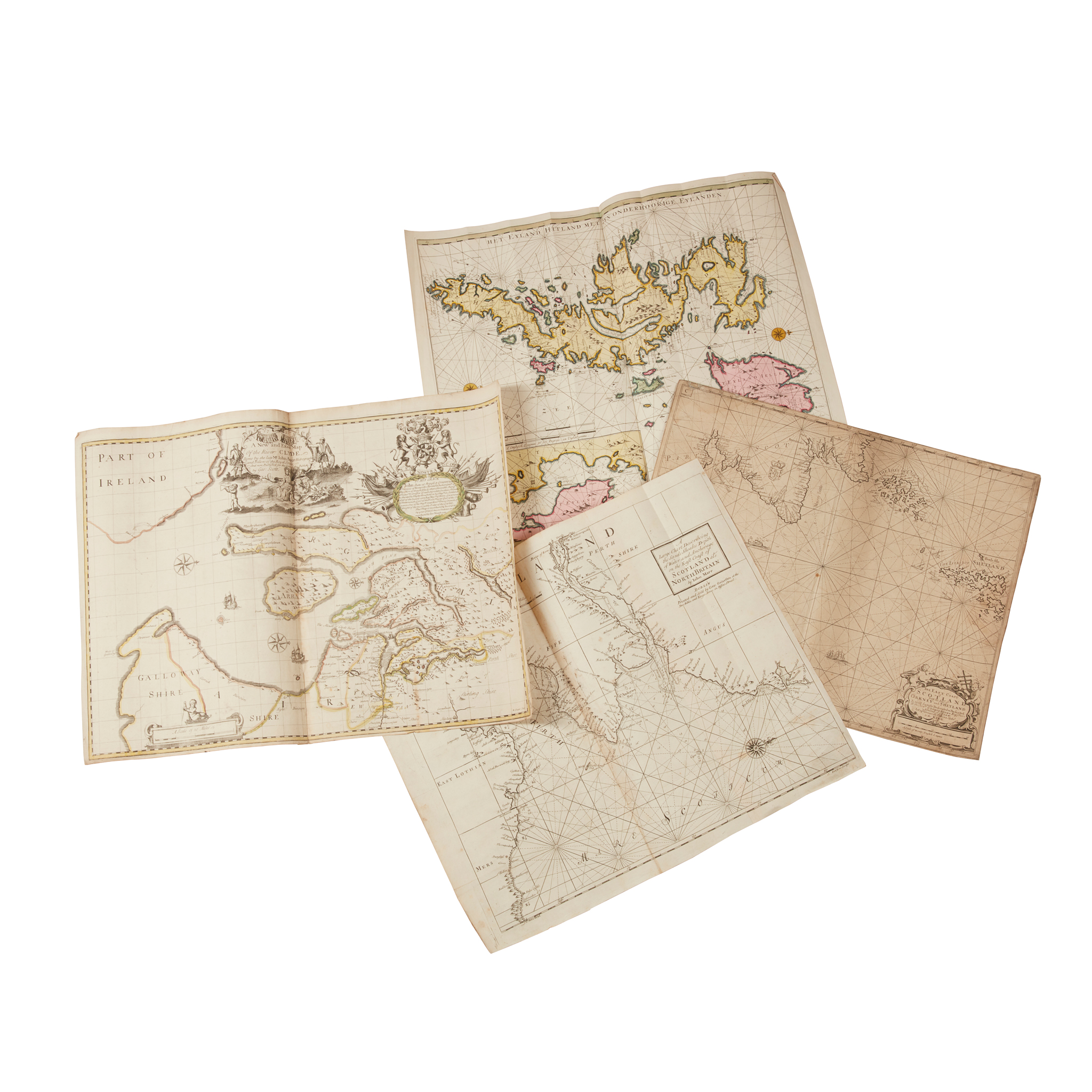
A collection of regional and coastal maps, mostly 17th-18th century
£756
Rare Books, Manuscripts, Maps & Photographs
Auction: 07 February 2024 from 10:00 GMT
Description
van Keulen, Gerard. Het Eyland Hitland met yn Onderhoorige Eylanden. Amsterdam, [n.d.], 54 x 64cm, hand-coloured;
Idem. Nieuwe Paskaart van de Westkust van Schotland… Amsterdam, [n.d.], 63 x 104cm, hand-coloured;
Marr, John. A Large Chart Describing the Sands Shoales Depth of Water and Anchorage on the East Coast of Scotland… [n.p., n.d.], 51 x 61cm;
Scott, George. A New and Exact Map of the River Clyde… [London, n.d.], 51 x 70cm;
Blaeu, J. Insulae Quaedam Minores… Amsterdam, [n.d.], 52 x 61cm;
and 8 others
(13)
Footnote
FROM THE LIBRARY OF THE STEVENSON LIGHTHOUSE ENGINEERS

