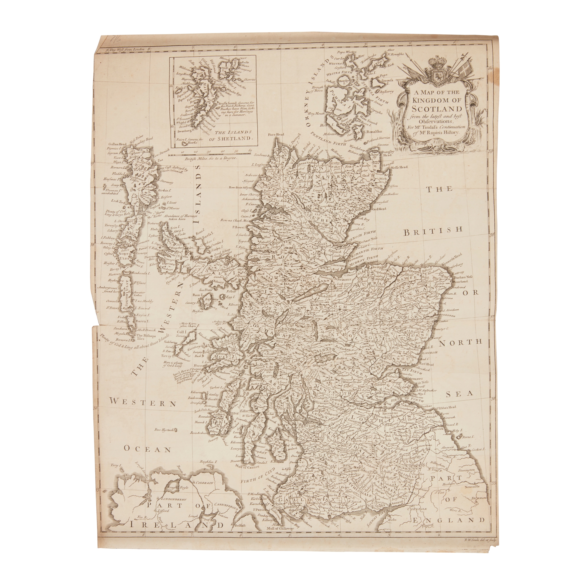
Scottish Maps
A very large collection
£2,772
Rare Books, Manuscripts, Maps & Photographs
Auction: 07 February 2024 from 10:00 GMT
Description
A Map of North Britain or Scotland, from the newest surveys and observations. London: John Bowles…, [n.d.] 70 x 53cm, hand-coloured in outline;
Jansson. Scotia Ragnum, [n.p., n.d.] 44 x 55cm, hand-coloured in outline;
Parte Settentrionale della Scozia. Siena: Pazzini Carli, 1795, 31 x 44cm, hand-coloured in outline;
Idem. Le Royaume d'Ecosse… Paris: H. Jaillot, 1693, 96 x 63cm, hand-coloured;
Idem. L'Ecosse de la Tay… Paris: Sr. Robert, 1741, 55 x 67cm, hand-coloured in outline;
and a large quantity of others, including several Irish maps, maps often dust-soiled, folded and torn with some repairs
(quantity)
Footnote
FROM THE LIBRARY OF THE STEVENSON LIGHTHOUSE ENGINEERS