Lot 28
Ayrshire Atlas - Robert Aitken
£440
Rare Books, Manuscripts, Maps & Photography
Auction: 13 January 2016 at 11:00 GMT
Description
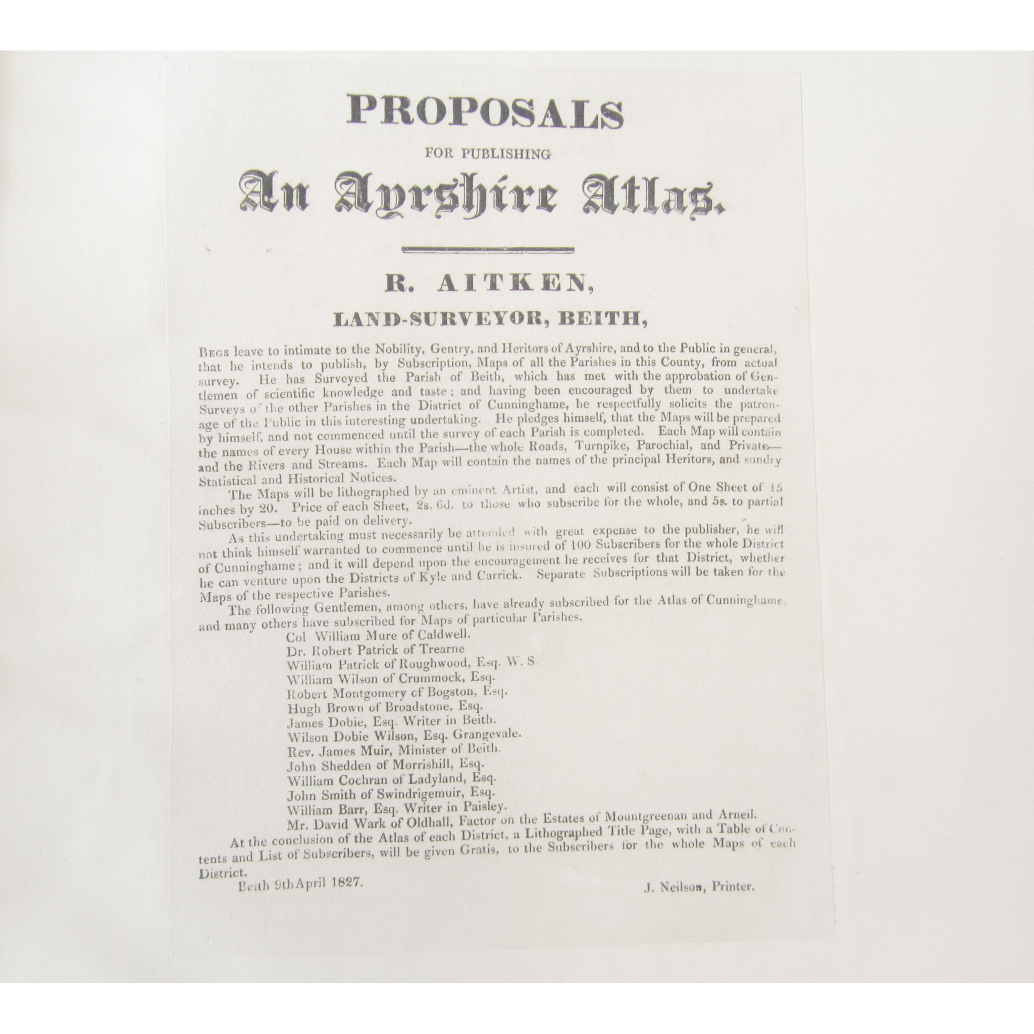
A new parish atlas of Ayrshire. Surveyed & Published by Robert Aitken. Beith, 1829, lithographed by W. Ballantyne. Part I. Cunninghame District. Folio, lithographed title, list of subscribers, dedication, coloured map of Ayrshire, 12 double-page maps, hand-coloured in outline, double page table of distances, green half calf gilt, also with "Proposals for Publishing an Ayrshire Atlas" on one sheet, all laid down on linen
Footnote
Note: Without the reproduction of Pont's map "Cunninghamia", called for by Moir, p.171, volume 2.
