Cook, Captain James
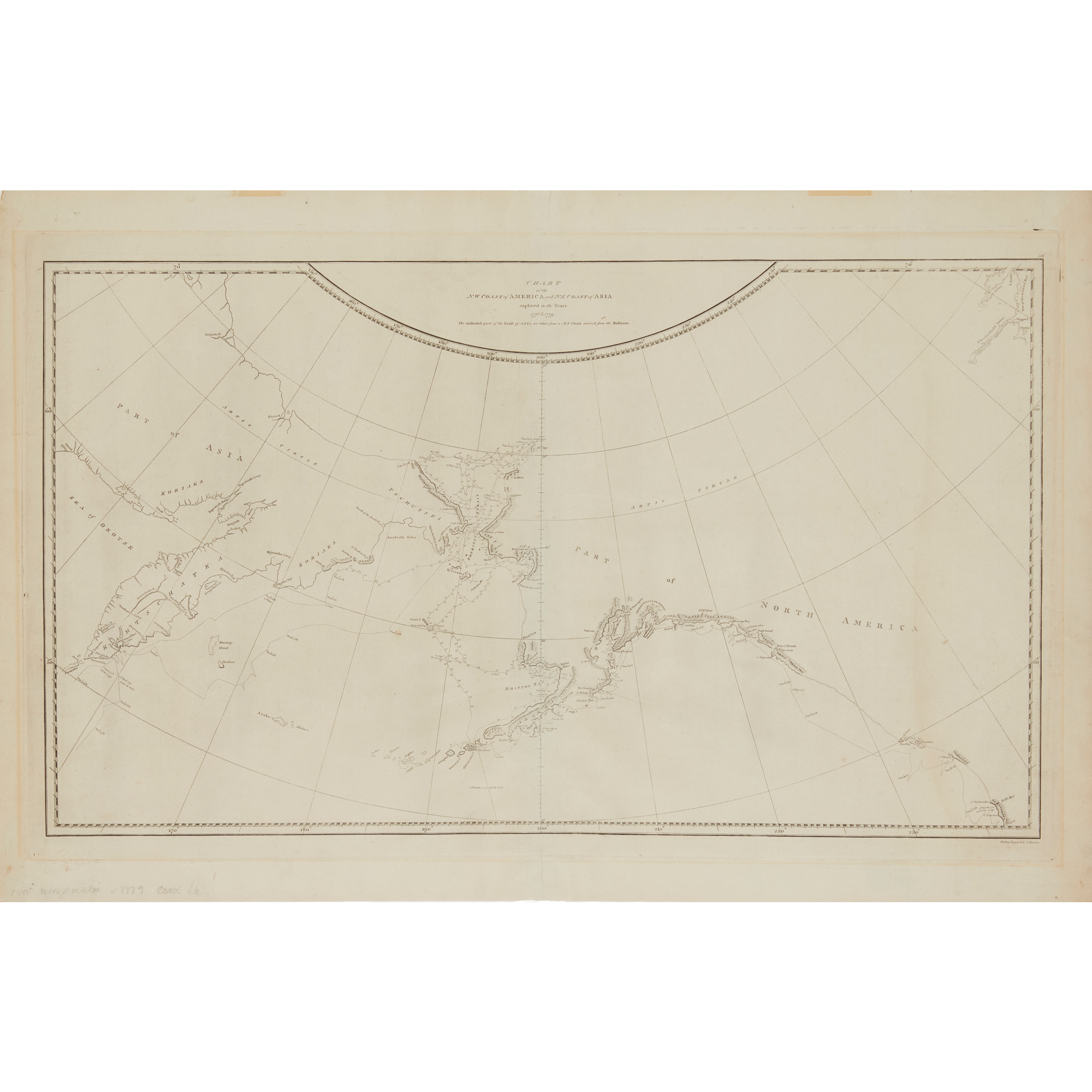
Chart of the N.W. Coast of America and N.E. Coast of Asia
Estimate: £200 - £300
Rare Books, Manuscripts, Maps & Photographs | 792
Auction: 19 June 2024 from 10:00 BST
Description
Explored in the years 1778 & 1779. The unshaded parts of the Coast of Asia are taken from MS chart received from the Russians [London, 1784], 42.5 x 69.5cm
Footnote
The first accurate portrayal on a map of the coast of NW America including Alaska, the official map showing the route of Captain Cook's final voyage.