Gall & Inglis (publishers)
The Edinburgh Imperial Atlas
£525
Rare Books, Manuscripts, Maps & Photographs
Auction: 13 July 2022 from 10:00 BST
Description
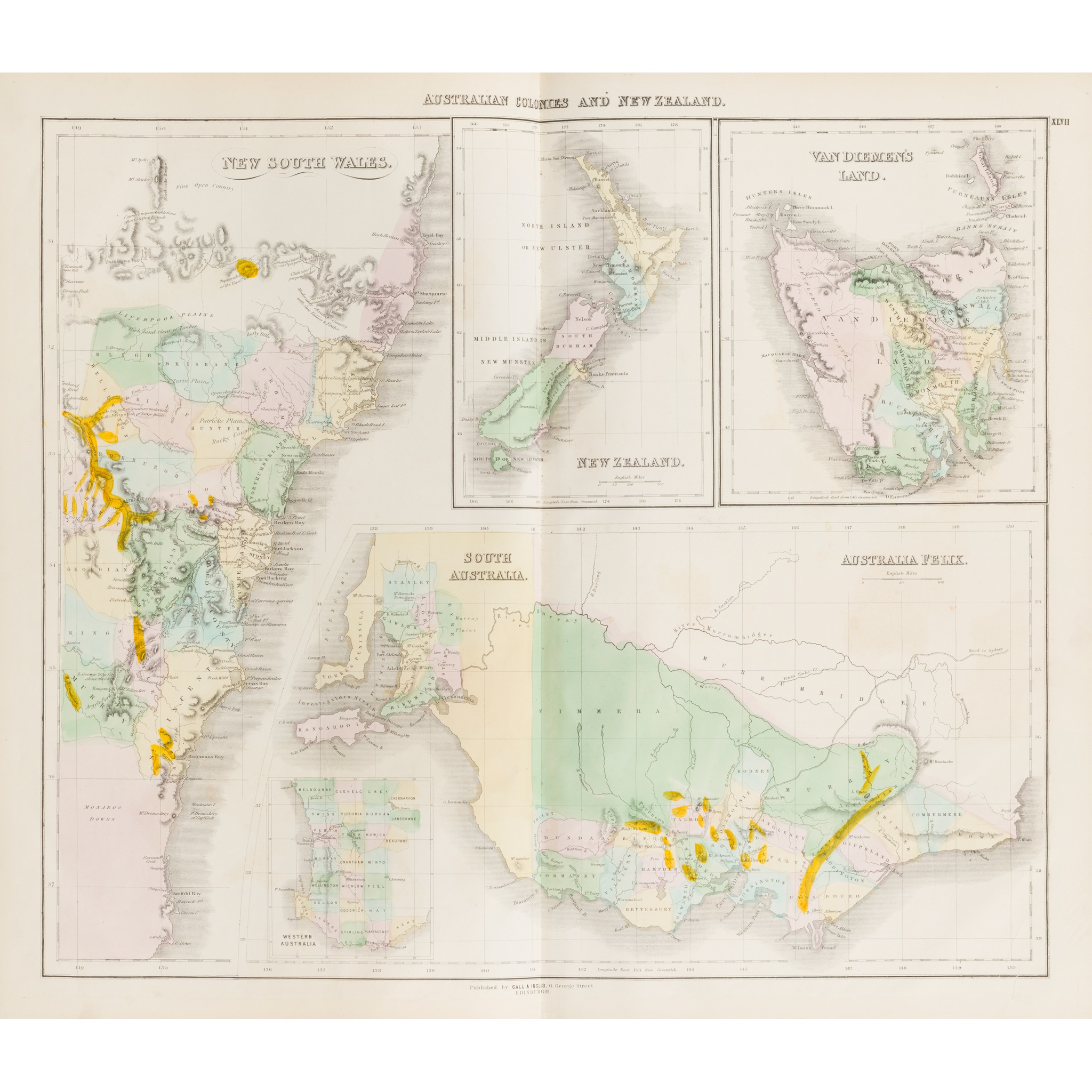
Ancient and Modern, revised and corrected to the Present Time, from the Best Authorities. Edinburgh: Gall & Inglis, c.1860. Folio (52.5 x 33.8cm), contemporary half morocco, wood-engraved title-page, letterpress title-page, 47 wood-engraved or lithographic maps, all hand-coloured, nearly all double-page, variable light offsetting from colouring, small tear in 'Asiatic Islands and New Holland', 19th-century ownership inscriptions to initial blank
Footnote
Note: The maps include Arabia, Persia, 'Hindostan', China and Japan, Canada and British North America, Islands of the Pacific Ocean, United States, and Australian Colonies and New Zealand.

