Scottish maps
A collection
£688
Rare Books, Manuscripts, Maps & Photographs
Auction: 13 July 2022 from 10:00 BST
Description
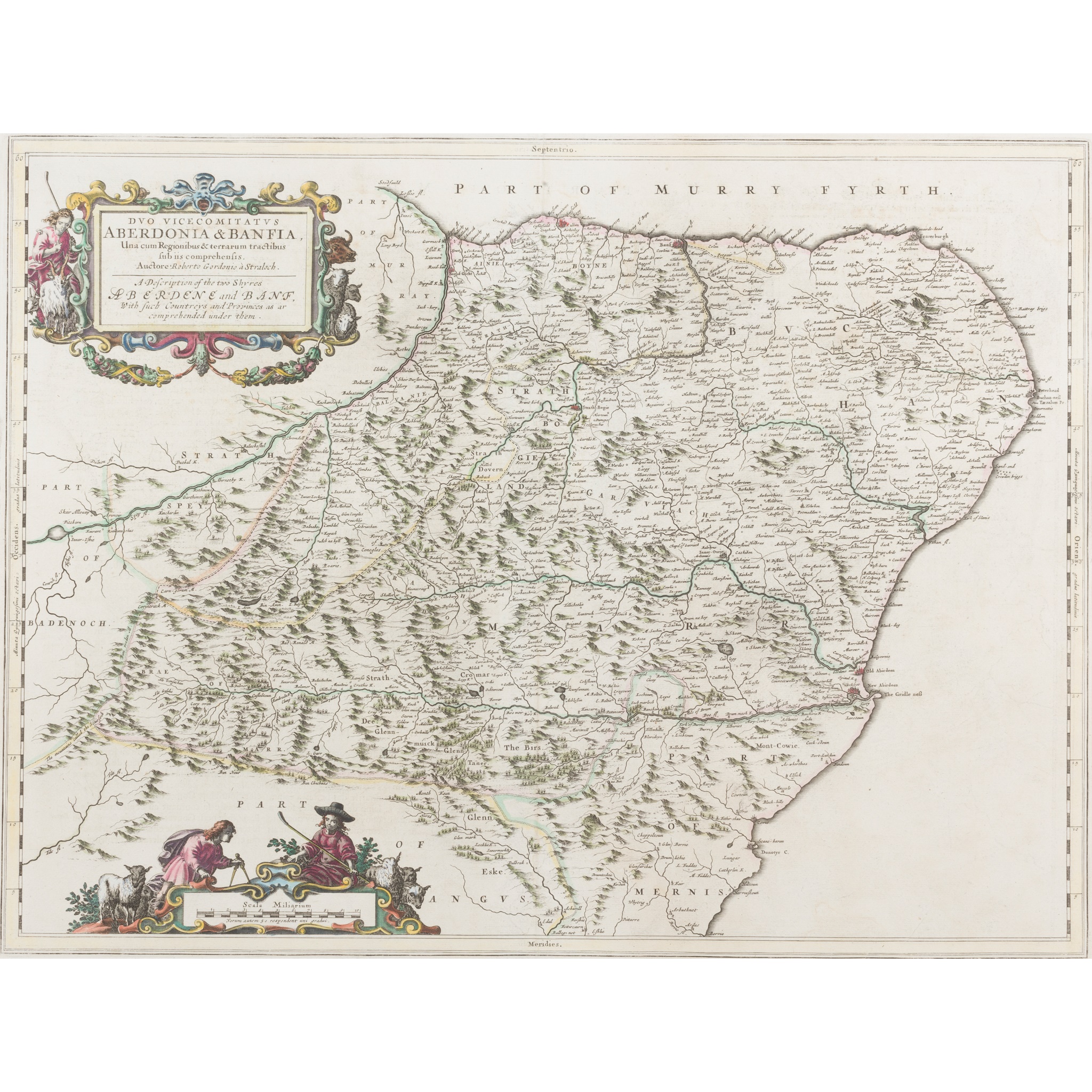
Blaeu. Duo Vicecomitatus Aberdonia & Banfia, 59 x 46cm, hand-coloured in outline;
[Idem] Moravia... 59 x 45cm, hand-coloured in outline;
[Idem] Annandiae, 53 x 44cm, hand-coloured in outline;
[Idem] Lidalia vel Lidisdalia Regio... 58 x 46cm, hand-coloured in outline, browned and foxed;
[Idem] Caricta Borealis... 62 x 51cm, laid-down, foxed;
Johnston, Andrew. A New Map of the South Part of Scotland [and] A New Map of the North Part of Scotland, [London, 1722], each 49 x 42cm, some very neat repairs to reverse; and another copy of the South part, hand-coloured in outline, browned;
Zatta, Antonio. Il Regno di Scozia, Venice, 1776, 42x 32.5cm, hand-coloured in outline; Scotland, or North Britain, [n.p., n.d.], 22 x 27cm, hand-coloured in outline;
and a later Bartholomew map on 4 sheets

